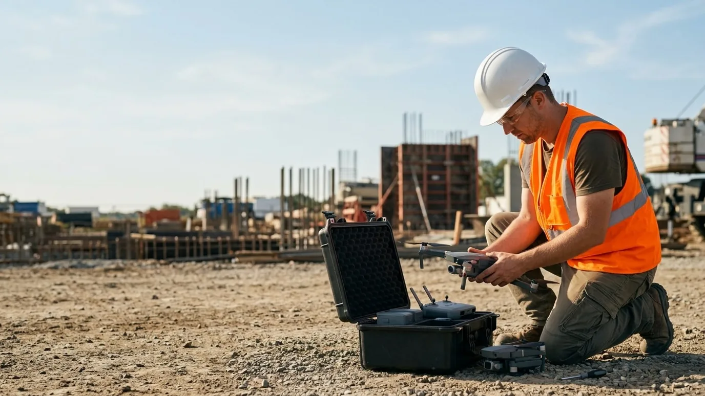
Commercial drone services, Canada-wide
Licensed, insured aerial data and media for people who are accountable for a site, a structure or a budget.
Progress records, inspections, mapping and 360 documentation, anywhere in Canada. One accountable operator, 10 years, six provinces flown.
Canada-wide · Transport Canada Advanced RPAS · Commercially insured
Who it is for
Built for the person who has to answer for the site.
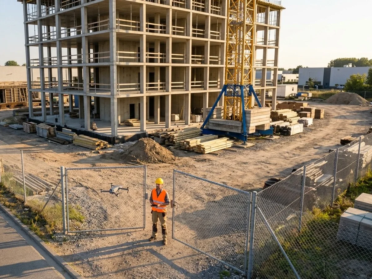 ConstructionProgress records, 360 walks and quantities for general contractors.See how
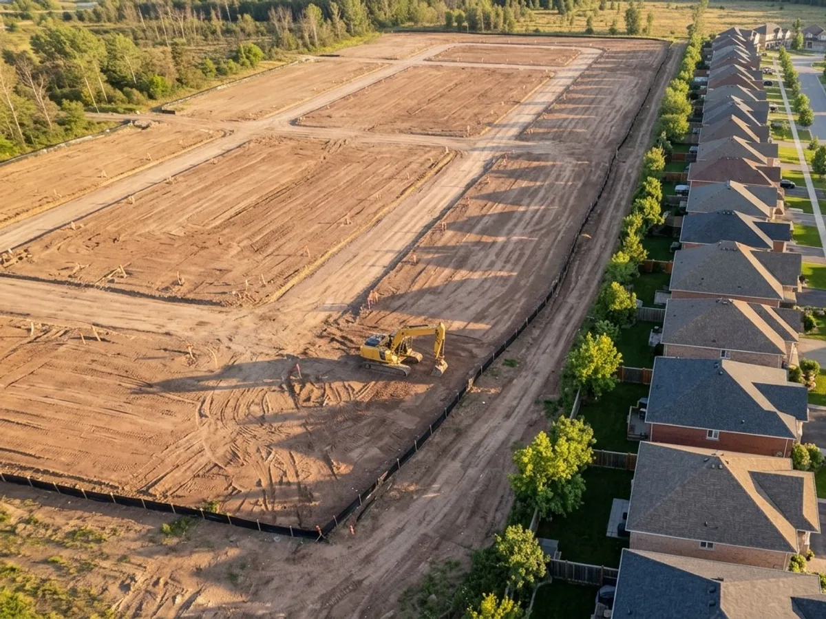 Owners and developersAn independent record of the project, and the views before the building exists.See how
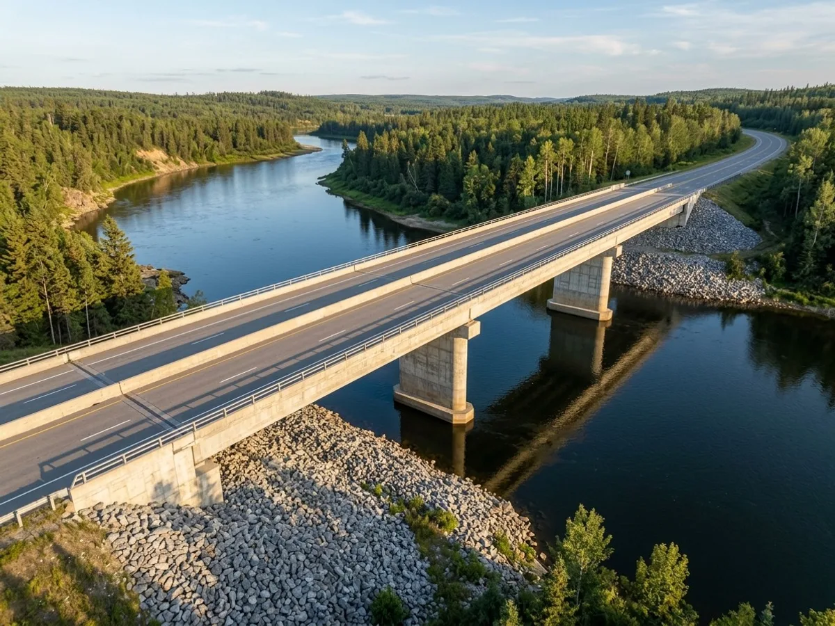 Engineering and inspectionData captured to your spec. The assessment stays yours.See how
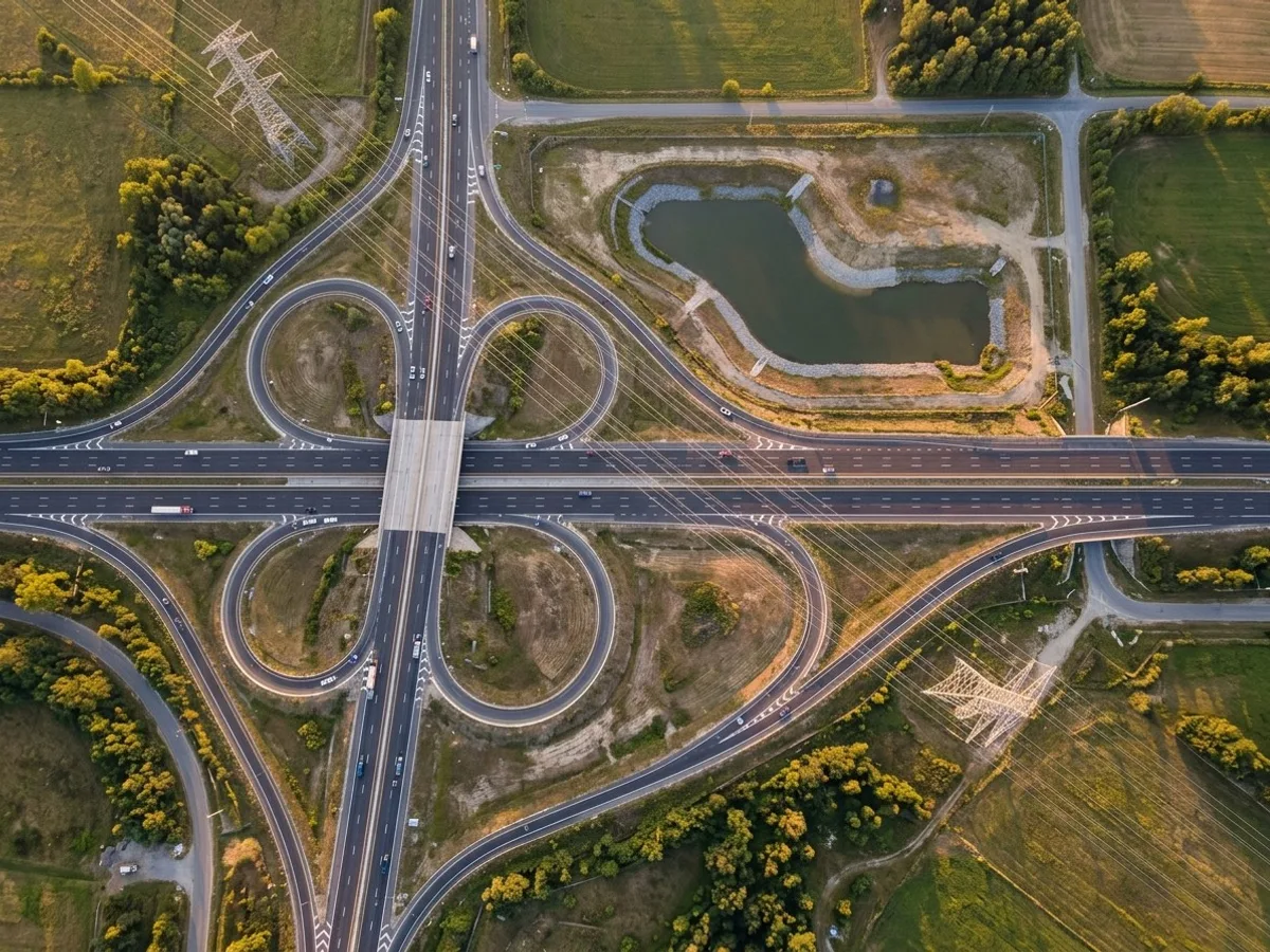 Utilities and infrastructureCorridors, structures and substations, documented without an outage.See how
Also: heavy civil, roofing, solar, mining, property management.
How it works
No pilots to hire, no hardware to buy, no paperwork to learn.
You describe the site and what you need to see or measure. Lensdrone scopes it, clears the airspace, flies it, and delivers the files into the tools your team already uses. Ben flies where he can and dispatches a vetted, licensed, insured operator elsewhere in Canada. One company, one invoice, one operator of record.
Scoping call
Fifteen minutes on what the site is, what you need, who reads the output and when. You get a scope and a price.
Licensed operator on site
Airspace authorised, site briefing attended, capture flown to the agreed plan. Recurring visits repeat it exactly.
Data delivered, checked
Files organised, named and QA’d to the spec, into your folder or your platform, with a note on anything that looked off.
01
Scoping call
Fifteen minutes on what the site is, what you need, who reads the output and when. You get a scope and a price.
02
Licensed operator on site
Airspace authorised, site briefing attended, capture flown to the agreed plan. Recurring visits repeat it exactly.
03
Data delivered, checked
Files organised, named and QA’d to the spec, into your folder or your platform, with a note on anything that looked off.
Services
Nine things we do. Each quoted per project.
- Construction progress monitoringScheduled captures your stakeholders can read
- Roof and building inspectionInspect without scaffolding or lifts
- Solar and utility inspectionThermal and visual, array by array
- Mapping and orthomosaicSurvey-grade maps, volumes and models
- Development and commercial real estateMarket a development before it exists
- Infrastructure and municipalBridges, roads, utilities, public assets
- 360 aerial panoramasInteractive views from any height
- Interior 360 site walksWalkthroughs mapped to floor plans
- Flights for your platformWe fly, your DroneDeploy or Pix4D account gets the data
Coverage
Canadian company. Canada-wide.
Incorporated and insured in Canada, certified by Transport Canada, and flown in 6 provinces from BC to Newfoundland. Ben flies where he can; elsewhere Lensdrone dispatches a vetted, licensed, insured operator and stays the one accountable operator of record.
- British Columbia
- Alberta
- Saskatchewan
- Ontario
- Nova Scotia
- Newfoundland and Labrador
Clients have included
- NRG
- Larco
- Arno Matis Architecture
- Canadian Tire dealers
Why a licensed operator matters
Anyone can buy a drone. That is the problem.
Commercial drone flight in Canada is regulated. Controlled airspace, flight near people, flight over roads and structures all need the Advanced RPAS certificate and, often, a NAV CANADA authorisation or an SFOC. An uncertified flight on your site is your liability as much as the operator's, and imagery from it is a weak record if it is ever questioned.
Lensdrone holds the certificate, carries commercial insurance, requests the authorisations, and keeps the logs. That is the minimum. The rest is ten years of knowing what a project manager, an engineer or a property manager actually needs from the data.
| With Lensdrone | Doing it in-house | |
|---|---|---|
| Hardware | None to buy, insure, maintain or replace when the next model ships. | An aircraft, spares, batteries, a thermal payload if you need one, and the replacement cycle. |
| Certification | Advanced RPAS certificate held, kept current, and the airspace authorisations requested for each site. | An employee studies, tests, keeps a flight log and requests authorisations on top of their actual job. |
| Insurance | Commercial RPAS liability, with a certificate naming your company. | A rider on your policy, if your insurer will write one, with exclusions you find out about later. |
| Consistency | Same positions, same spec, same delivery format every visit. A ten year habit. | Whoever was free that day, from wherever they stood, whenever they remembered. |
| Someone accountable | One operator of record. If the capture is wrong, it is recaptured. If a flight is questioned, there is a log. | A drone in a truck and a question about who signed off on the flight. |
In practice
What it looks like on a real job
- The problem
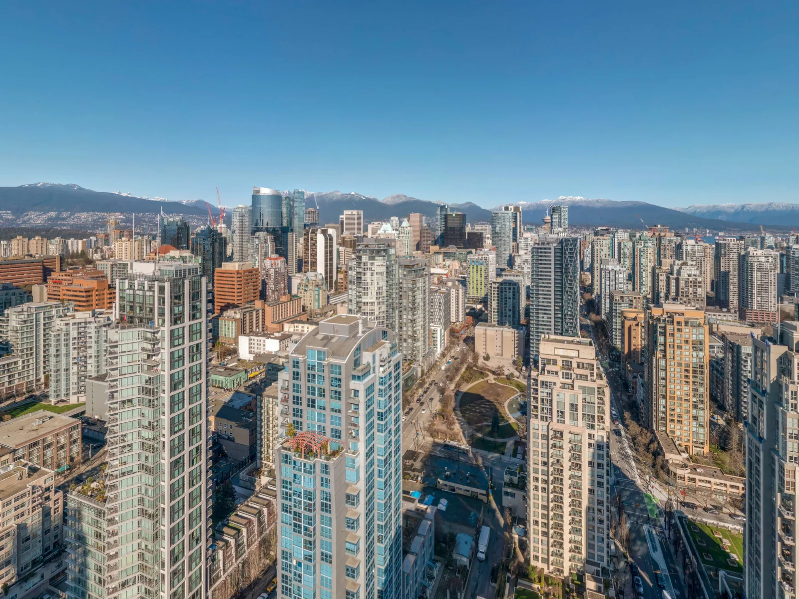
- A 40-storey residential tower at Drake and Richards, not yet built, and a need to show the views at varying heights up the tower.
- What we captured
- Eight 360 panoramas at the elevation of levels 11 to 40, published as an interactive viewer with a level switcher, compass and labelled streets.
- What changed
- The view from any floor, in any direction, became a link. Sales and design conversations could start from the real view years before anyone could stand at the window.
Next step
Tell us about the site.
Anywhere in Canada. Send the basics and Ben will come back as soon as he can with a scope and a price. If you would rather talk, call.
- Call Ben
- +1 778 889 9306
- Ballpark in 60 seconds
- Instant estimate