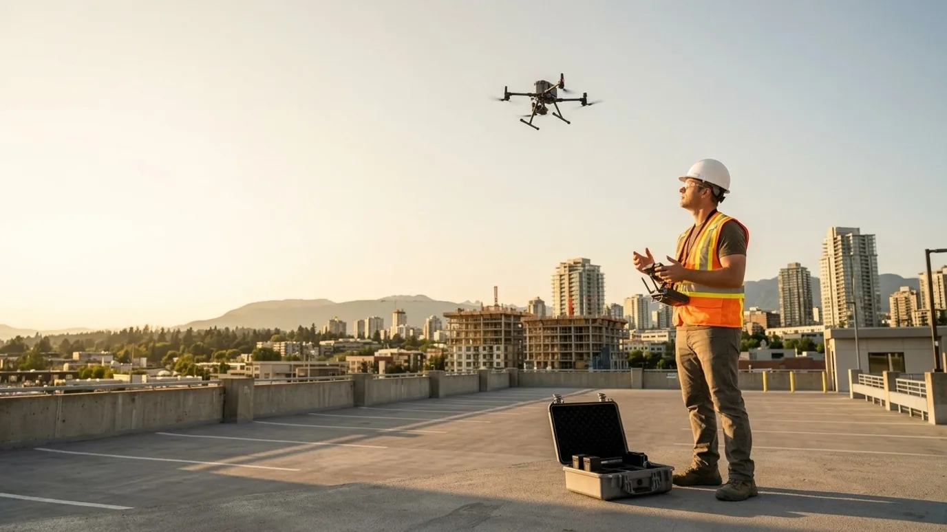
360 aerial panoramas
One view from above the site that anyone can turn around in.
Interactive 360 panoramas at any elevation, hosted, embeddable and annotated. For developers, site teams, municipalities and anyone who needs to show a place to people who cannot be there.
Canada-wide · Transport Canada Advanced RPAS · Commercially insured
A site meeting that works on a phone, in a browser, from anywhere.
This is for anyone who needs to show a site, a structure or a view to people who are not there: developers with remote investors, site teams with an owner in another city, municipalities consulting the public on a project.
Plans need explaining. Video goes where the camera went. A photo is one direction.
A 360 aerial panorama is a single point of view above the site that the viewer can turn around in, zoom into and read annotations on, from a phone. Ben has been building 360 experiences for a decade; it is the thing Lensdrone does that most drone operators do not.
Remote visibility
Spin, zoom, understand
A stakeholder who has never been on site can look around from above and grasp the layout in seconds, without a plan to decode.
Views and context
Any floor, any direction
Capture at the height of a future floor or a proposed structure and the view question is answered.
Record
A dated point of view
Repeat from the same position each month and the series becomes a progress record you can flip through.
Deliverables
What you get
Stitched 360 panoramas
Full spherical panoramas at each requested position and height, high resolution, colour graded, delivered as equirectangular files you own.
Hosted interactive tour
Browser-based viewer with a link and an embed code. Works on phones. No app, no login for viewers.
Hotspots and annotations
Labels, notes, links and photos pinned to positions in the panorama, so the tour explains itself.
Multi-position navigation
Jump between panoramas at different heights or locations, and between dates on a recurring programme.
Flat exports
Cropped stills from any direction for decks and documents.
- Turnaround
- Agreed at scoping
- Delivery
- Hosted link and embed code; source files in a shared folder
- Licensing
- You own the panoramas. Hosting continues for as long as the project needs it.
How it works
Positions, capture, publish.
Scoping call
Which positions and heights, what the annotations should say, where the tour will be embedded.
Capture
Each position captured as a full sphere. Several positions and heights fit into one visit.
Publish
Stitched, annotated, hosted. You get a link and an embed code the same way every time.
01
Scoping call
Which positions and heights, what the annotations should say, where the tour will be embedded.
02
Capture
Each position captured as a full sphere. Several positions and heights fit into one visit.
03
Publish
Stitched, annotated, hosted. You get a link and an embed code the same way every time.
Compliance
Compliance, in plain terms
Nothing here is a selling point. It is the minimum you should demand from anyone who flies on your site.
Transport Canada Advanced RPAS certificate
The advanced certificate is the one that permits flight in controlled airspace and near people. Every operator Lensdrone dispatches holds it.
Commercial liability insurance
Insured for commercial RPAS operations. Certificate of insurance available on request, naming your company where required.
NAV CANADA airspace authorisation
Controlled airspace near airports needs authorisation before each flight. We handle the request and build the lead time into scheduling.
SFOC where needed
Some operations, such as flights over 122 m or beyond visual line of sight, need a Special Flight Operations Certificate. We tell you up front if your job needs one and manage the application.
Site safety briefing
We attend your site orientation, follow your PPE and access rules, and brief your team on where and when we are flying.
Pricing
Quoted per project. Tell us about the site and you get a scope and a number.
What moves it
- Number of panorama positions and heights
- Hosting and embedding
- Overlays
In practice
What it looks like on a real job
- The problem
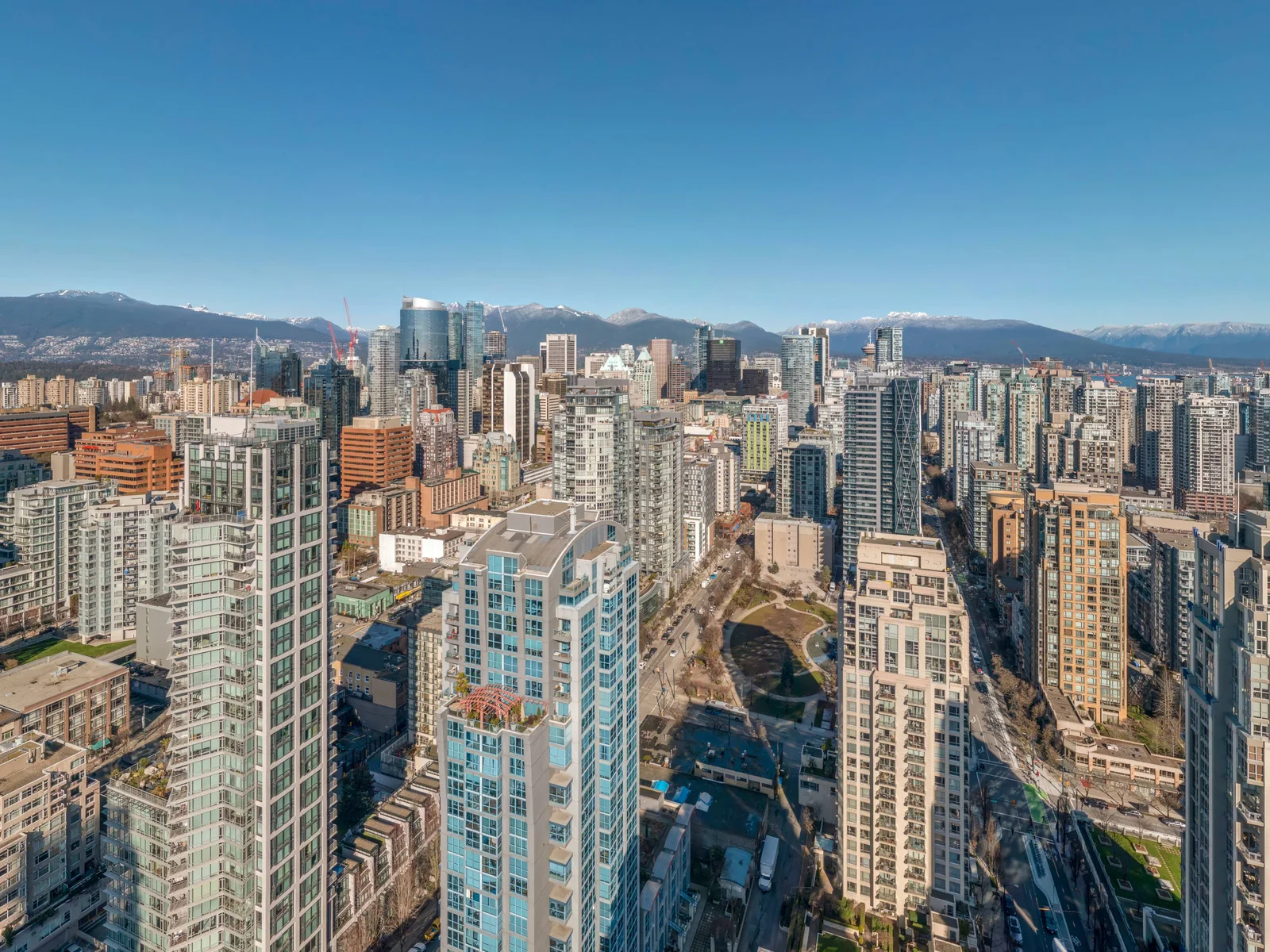
- A 40-storey tower at Drake and Richards, not yet built, and a need to show the view from different heights.
- What we captured
- Eight 360 panoramas from level 11 to level 40, with a level switcher, compass and the surrounding streets labelled, hosted as one interactive viewer.
- What changed
- Anyone with the link can step up the tower floor by floor and turn around at each one.
FAQ
Questions people ask before booking
How is this different from aerial video?
Video shows what the camera pointed at. A 360 panorama lets the viewer choose. For explaining a site to someone, the panorama usually wins; for a launch reel, video does. Many projects use both.
Can you capture at the height of a specific floor?
Yes. Tell us the floor-to-floor height and which floors matter and we capture at those elevations, positioned over the building footprint.
Where is the tour hosted?
On our hosting, with an embed code for your site, listing or intranet. If you would rather host it yourself, you get the source files and a self-contained viewer.
Can it be a progress record?
Yes. The same position captured monthly becomes a date slider in the tour. It is one of the more useful ways to show an owner what has changed.
Is this the same as the 360 work on 360immersion.com?
Same specialist, different brand. 360immersion is for tourism and hospitality. Lensdrone is for sites, structures and projects.
Next step
Tell us about the site.
Anywhere in Canada. Send the basics and Ben will come back as soon as he can with a scope and a price. If you would rather talk, call.
- Call Ben
- +1 778 889 9306
- Ballpark in 60 seconds
- Instant estimate