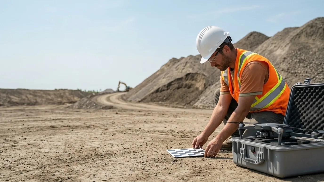
Heavy civil
Quantities from the surface, not from a walk-around.
Recurring surveys, cut and fill, stockpile volumes and corridor records for road, bridge and earthworks contractors. Ground control placed, accuracy stated, delivered in your coordinate system.
Canada-wide · Transport Canada Advanced RPAS · Commercially insured
Earthworks progress as a number, every month, on the same surface.
This is for road, bridge, utility and earthworks contractors, and the estimators, project managers and surveyors who track quantities on their projects.
Heavy civil is paid by the cubic metre and the linear metre. When the quantity comes from an estimate, it gets argued about. When it comes from a walk with a rover, it costs a crew day and still only samples the surface.
A recurring drone survey with ground control gives you the whole surface, at stated accuracy, on a schedule. Cut and fill, stockpile volumes and corridor progress become numbers on a report that both you and the owner can check.
Progress
Earthworks quantification on a schedule
A surface model every cycle, compared to the last one and to design, so moved material is arithmetic.
Cut and fill against design
The current surface against the design surface and the previous capture. Volumes by area, by phase, by pay item.
Stockpile volumes by material
Aggregate, topsoil, spoil, each pile measured from the model, repeatable month to month.
Corridor progress
Orthomosaics along the alignment showing clearing, grading, structures and paving as they advance, station by station.
Where the saving is
Quantity disputes at progress payment are where heavy civil loses money and time. A stated-accuracy surface that both sides can check removes most of the argument and shortens the certification cycle.
Quality
As-builts you can overlay on the plan
Built conditions captured as surfaces and point clouds that sit on the design in your own CAD.
As-built surfaces
Subgrade, base, finished grade captured at each stage as a DSM and DTM, in your system, with checkpoint residuals.
Structure and culvert records
Bridges, culverts, walls and drainage structures documented systematically before backfill.
Design overlay
Your alignment and design surfaces on the current orthomosaic, so deviations show before they are buried.
Where the saving is
Finding a grade problem on the model is cheap. Finding it after paving is not. The saving is rework avoided and a clean as-built package at close-out.
Safety
Fewer people walking live earthworks
Measurements and inspections taken from the air on a site full of moving equipment.
No rover crew among the haul trucks
Millions of points from a flight instead of a person walking piles and slopes with a GPS pole.
Slope and excavation review
Cut slopes, trench boxes and excavation edges seen from above and reviewed against the plan.
Traffic and access layout
Haul routes, public interfaces and detours reviewed from an overhead view that shows conflicts a ground walk misses.
Where the saving is
The survey crew that did not walk the site during production is the saving. It is also a schedule saving, because the flight does not stop the trucks.
Services for heavy civil
What we do on these sites
- Mapping and orthomosaicThe core service for civil: ortho, DSM, DTM, point cloud, volumes, with ground control.Read more
- Flights for your platformOn Propeller, DroneDeploy or Trimble Stratus already? We fly to spec and upload.Read more
- Construction progress monitoringFixed vantage point captures along the corridor for owner and public reporting.Read more
- Infrastructure and municipalStructures, culverts and bridges documented before backfill and at completion.Read more
FAQ
Questions heavy civil teams ask
What accuracy do you achieve on earthworks?
With surveyed ground control, a few centimetres horizontally and vertically, stated in the accuracy report with checkpoint residuals. That is sufficient for volumes and progress. For payment-grade surfaces, your surveyor places or checks the control and we work to it.
Does this work with Procore, Autodesk Construction Cloud, DroneDeploy or Pix4D?
Yes. Files can go into your Procore or ACC project. If your team already uses DroneDeploy, Pix4D, Propeller or similar, we capture to that platform’s spec and deliver into your account. See the flights for your platform service.
Is this only for large, multi-year projects?
No. The smallest programmes we run are a few visits over a single phase, or a single inspection of one building. What matters is whether someone needs to see or measure something they cannot easily get to. Project size is not the deciding factor.
What if our site is in controlled airspace?
Most urban sites are. Every operator we dispatch holds the Advanced RPAS certificate, which is the one that permits controlled airspace flight, and we request NAV CANADA authorisation before each visit. It adds lead time to the first capture, rarely to the cost.
Who owns the data?
You do. Every photo, video, map and model is yours to use however you want, with no licensing fee and no expiry. We keep a copy for the duration of the project in case a file goes missing on your side, then delete it unless you ask us to keep it.
What happens in winter?
We fly in winter across Canada. Cold shortens battery life and low sun changes the look of the images, so we plan for shorter flights and midday captures. Heavy snow or freezing rain will move a visit by a day or two, and we tell you as soon as we know.
Who actually shows up on site?
Ben where the site is within his reach. Elsewhere in Canada, a subcontracted operator Lensdrone has vetted for licence, insurance and experience, briefed on your site and working to the same capture plan. One company, one invoice, one operator of record either way.
Next step
Tell us about the site.
Anywhere in Canada. Send the basics and Ben will come back as soon as he can with a scope and a price. If you would rather talk, call.
- Call Ben
- +1 778 889 9306
- Ballpark in 60 seconds
- Instant estimate