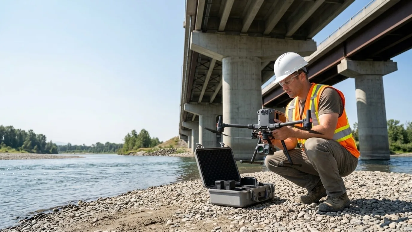
Engineering and inspection
Data captured to your spec. The assessment stays yours.
Systematic inspection imagery, photogrammetric models and survey-grade mapping for structural, civil, envelope and geotechnical engineers. Delivered in your formats, with the accuracy stated.
Canada-wide · Transport Canada Advanced RPAS · Commercially insured
A licensed operator who understands what an engineer needs from the data.
This is for structural, civil, building envelope and geotechnical engineering firms, and the inspection and consulting practices that need field data captured properly and often.
Sending an engineer to a site with a camera is expensive, and the photos they come back with depend on where they could safely stand. Buying and certifying a drone programme inside the firm is a distraction from engineering.
Lensdrone captures to your spec: systematic imagery, models and survey-grade mapping, with the flight logs and control data your QA process needs. You keep the assessment and the stamp. We keep the licence, the insurance and the aircraft.
Progress
Site conditions, captured when you need them
Existing conditions, construction review and as-builts captured on your schedule, in your coordinate system.
Existing conditions surveys
Orthomosaics, elevation models and point clouds for design, with ground control and checkpoint residuals reported.
Construction review captures
The site at the milestones your field review needs, from the same positions, so your report has the picture.
As-built records
Surfaces and models at completion, overlaid on design in your CAD.
Where the saving is
A field review that starts from a current, measurable capture is shorter, and the junior engineer who did not drive four hours to take photos is doing something else.
Quality
Every surface, at resolution, in context
Systematic imagery and 3D models of structures organised the way an inspection report is organised.
Element-by-element imagery
Piers, bearings, girders, deck, walls, spillways, facades, each captured systematically with a location key, so nothing is missed because nobody walked there.
Photogrammetric models
Crack mapping, spalling, deformation and clearance reviewed on a georeferenced model instead of a stack of photos.
Your formats, your spec
GSD, overlap, accuracy, coordinate system and file types set by you at scoping and reported on delivery.
Where the saving is
Complete coverage means the second visit to photograph the thing that was missed does not happen. The model means the whole team reviews the structure, not just the person who was there.
Safety
Your engineers stay off the rope and out of the lift
Access to the underside, the face and the height done by the aircraft, so the engineer reviews from a desk and goes hands-on only where it matters.
No rope access for a look
Faces, undersides and heights captured at resolution before anyone is rigged.
Confined and hazardous areas
Interiors of tanks, silos and structures captured with a caged aircraft or a 360 camera where entry is a permit.
Targeted hands-on
The capture tells your engineer where the hands-on inspection is needed. The crew goes to three spots, not thirty.
Where the saving is
Rope access and lifts are expensive and slow. Using them only where the imagery says to is both the safety and the budget argument.
Services for engineering and inspection
What we do on these sites
- Infrastructure and municipalBridges, dams, culverts and public structures, element by element, with a model.Read more
- Mapping and orthomosaicSurvey-grade mapping with ground control and a stated accuracy your firm can sign off on.Read more
- Roof and building inspectionEnvelope condition surveys with thermal for building science and envelope engineers.Read more
- Flights for your platformCapture to the spec of the processing platform your firm already uses.Read more
FAQ
Questions engineering and inspection teams ask
Can we specify the capture parameters ourselves?
Yes, and we prefer it. GSD, overlap, altitude, coordinate system, control layout, file formats. If a parameter is not achievable on the site or with the aircraft, we say so before flying rather than after.
Do you provide engineering assessment?
No. Lensdrone captures; your professional engineer assesses and signs. We make sure the data is complete, accurate and organised so the assessment is faster.
Can you work under our firm’s QA process?
Yes. Flight logs, control and checkpoint data, weather and airspace records are delivered with every job so your QA file is complete.
Who owns the data?
You do. Every photo, video, map and model is yours to use however you want, with no licensing fee and no expiry. We keep a copy for the duration of the project in case a file goes missing on your side, then delete it unless you ask us to keep it.
Can you provide a certificate of insurance naming our company?
Yes. Commercial liability insurance for RPAS operations, with a certificate naming your company or the owner as required by your contract. Ask for it at scoping and it arrives with the quote.
Who actually shows up on site?
Ben where the site is within his reach. Elsewhere in Canada, a subcontracted operator Lensdrone has vetted for licence, insurance and experience, briefed on your site and working to the same capture plan. One company, one invoice, one operator of record either way.
What happens in winter?
We fly in winter across Canada. Cold shortens battery life and low sun changes the look of the images, so we plan for shorter flights and midday captures. Heavy snow or freezing rain will move a visit by a day or two, and we tell you as soon as we know.
Next step
Tell us about the site.
Anywhere in Canada. Send the basics and Ben will come back as soon as he can with a scope and a price. If you would rather talk, call.
- Call Ben
- +1 778 889 9306
- Ballpark in 60 seconds
- Instant estimate